Showing posts with label geography. Show all posts

1 . demography


In 2008 , the Moroccan population was estimated at 34.3 million people, or an average density of 77 inhabitants per km ² ; but Moroccans are unevenly spread across the country : the coastal areas and the northern plains recorded the highest densities.
The population has a high rate of growth : in 2008, the birth rate was estimated at 21.30 p. 1000 , the mortality rate of 5.50 per cent. 1000 , the fertility rate to 2.57 children per woman ; life expectancy is 71.5 years. According to these forecasts , Morocco should have 42 million inhabitants in 2025. The structure of the pyramid helps to fuel social unrest in a country where unemployment is high : for the period 1995-2000 , the share of under 15 in the total population is estimated at 36 percent . 100 , that of individuals aged 65 and over, 5.1 percent . 100 .
Morocco is a land of emigration : about 1.8 million Moroccans living abroad , particularly in France ( 575,000 ), Italy ( 200,000 ) and Belgium (120 , 000) .

  key data demography

Population 34,272,968 inhabitants (2008)
Population density of 76.8 inhabitants per km2 (2008)
Fertility rate 2.6 children (s) per woman (2008)
Mortality rate 5.5 ‰ (2008)
Infant mortality rate 37.5 ‰ (2008)
Growth rate of 1.50% of the population (2008)
Life expectancy men : 69.1 years (2008)
female : 74 years (2008)
Population by age less than 25 years: 50.7 % (2008 )
25-64 years: 44.1% (2008)
over 65 years: 5.1% ( 2008)
Urbanization rate 58.8 % (2005)
Male literacy rate : 65.6 % (2005)
women : 41.5 % (2005)
HDI 0.640 (2006)
The population of Berber origin , was Islamized by the Arab conquerors from the eighth century. With the growth of cities , some of the natives have abandoned their traditional way of life and adopted the language and customs of newcomers. Today, the Berbers , or Imazighen (" free" ) rather live in rural areas, and since the late 1980s, claiming their cultural specificity ; Arab populations are more urban . However, the gap between the communities is not nearly as obvious as many marriages between Arabs, Berbers and black Africans for a millennium , largely mestizo population and speaking Berber is not opposed fundamentally to the fact also belong to the Arab civilization.
The number of Sahrawis , Berbers mostly belonging to the confederation of many Regueibat is disputed by the various parties to the conflict in Western Sahara . It varies from 170 000 to 1 million , the latter figure being advanced by the Polisario Front , which takes into account the Sahrawi refugees outside the Moroccan territory.
Approximately 100,000 Europeans (25 p. 100 French ) live in Morocco, and a descendant of the Jewish minority large community who emigrated to France or Israel in the 1960s and 1970s.

2 . Administrative divisions and major cities 
The country is divided into 16 economic regions subdivided into provinces and urban prefectures.Moroccan provinces are administered by prefects appointed by the king and submitted to central government. Each province is divided into "circles" , which are themselves divided into " districts ".The population distribution between rural and urban areas is relatively balanced : in 2005, 59 p. 100 Moroccans were urban dwellers. Rabat , the capital and one of the largest cities in Morocco , is located on the Atlantic coast ( 717,000 inhabitants , 1992 estimate ) . Casablanca (2.1 million) is the largest city in the country and the first port; Marrakech (618 000 inhabitants ) and Fez (573 000 inhabitants ) are the major areas of Moroccan trade . Tangier ( 592,000 inhabitants) controls the Strait of Gibraltar. The Government encourages the Moroccan population to settle in Western Sahara , whose main town is El- Aïun ( Laayoune ) .

Morocco is the most forested countries of the Maghreb . Mountainous regions facing the Atlantic are covered with forests (9.8 p. 100 territory) , including large tracts of cork oaks, oaks , junipers , cedars, firs and pines that benefit rains of autumn and winter , but droughts , more and longer in the South, this fragile vegetation subjected to fire, logging and soil erosion . Cropland occupy almost all the plains ; Moreover , scrub predominates. Under the plain , near the southern border, there is a large argan forest , endemic spiny North Africa. The vegetation in the wadi valleys pre-Saharan is identical to that of the arid region; in the oases , vegetables and fruit trees thrive in the shade of date palms .Morocco, at the crossroads of Europe and Africa , has a diverse fauna. Roman mosaics of Volubilis indicate the presence of elephants, now extinct , and lions , the last specimens were still living in the Atlas in the nineteenth century . We still encounter species such as fox, rabbit , otter and squirrel , but also gazelle, warthog, leopard, baboon and the horned viper.

Morocco is subject to contrasting influences of the Mediterranean, the Atlantic Ocean and the Sahara on the reliefs which the western part receives oceanic rainfall, while the mountains act as barriers. The coastal plains are in the same latitude as the oasis of the Algerian Sahara; rich and fertile in the North, they are influenced by the desert in their southern part from Essaouira ( Mogador ) and especially of Agadir.

In the north, the climate is Mediterranean , tempered by the influence of the sea with colder winters in altitude and neighboring rainfall of 800 mm annual on the northern Atlantic coast . In Essaouira , average annual temperatures range from 16.4 ° C in January and 22.5 ° C in August. In the interior , winters are cooler and warmer summers. Thus, Fez, temperatures range from 10 ° C in January to 26.9 ° C in August. In the Atlas , it is not uncommon to find lower winter temperatures - 17.8 ° C , and the peaks are snow almost all year .

The rainy season is the winter months. Precipitation are important in the North West and lowest in the East and South, especially in the eastern foothills of the Atlas. The average annual precipitation ranges from 860 mm to 430 mm in Tangier and Casablanca, Essaouira 280 mm and 130 mm in the Sahara.


Well watered , with persistent snow on the highest peaks , the Atlas gives rise to many rivers whose water is used for irrigation and feeding several small hydro. These streams become rivers as the Moulouya (450 km), which flows into the Mediterranean, or Sebu (500 km), which flows into the Atlantic.

The rugged terrain and rainfall make the river navigable bit of Morocco . Thus, the Sebu is the only waterway in the country, but only in the last part of its course until Kenitra (17 km), while the Oum er- Rebia (600 km), the main river in Morocco , running from east to west along the slope waters and a Saharan oasis line is unfit for navigation.
Sudden and uncontrolled flood of spring or autumn feed groundwater that are live , the rest of the year, established populations on eminences . In the extreme southeast , wadis and Ziz Rheris , down from the Atlas , lost in the desert sands .

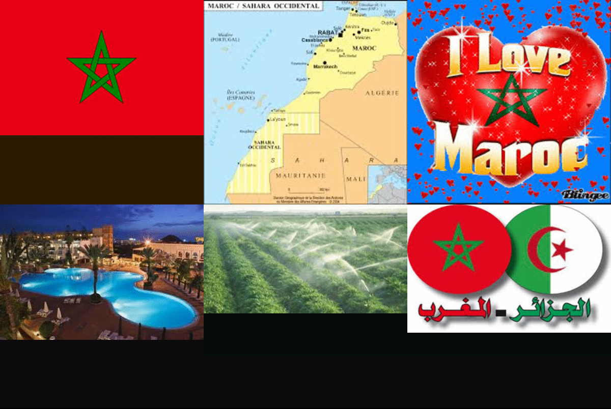
The country covers a total area of ​​706,550 km2 , including the Western Sahara is 266,779 km2. It is in Morocco found the most extensive plains and the highest mountains of North Africa. The relief of the country is marked by four major systems: the Rif , the Middle Atlas , the High Atlas and Anti- Atlas .The Mediterranean shores are dominated by the Rif, a low mountain range , 1000 m on average, but 2,450 m Jebel Tidirhine , which rises from east to west . South , a depression, Taza Gap separates the Rif chain pleated , Middle Atlas , which exceeds 3000 m, while a central plateau performs transition with rich coastal plains are all homes settlement . We meet west of karst sinkholes with sometimes form lakes . Ancient volcanic activity has created crater lakes such as Sidi Ali.The High Atlas , which also extends into Algeria , culminating at 4165 m in the Jebel Toubkal south of Marrakech ; he succeeded in the Middle Atlas in a north -east south-west alignment and extends to the Atlantic, where it connects to the Anti- Atlas , the southernmost chain Moroccan mountains , by the massive of volcanic Jebel Siroua ( 3,300 m). This rugged ridge, formed by young mountains , plateaus and separates the green and fertile plains of the Sahara dry wadis and drylands .

Search Our Site

Bookmark Us

Delicious Digg Facebook Favorites More Stumbleupon Twitter